Competition areas
24./ 25. 08. 2021. – Sesvetski Kraljevec – Model Event
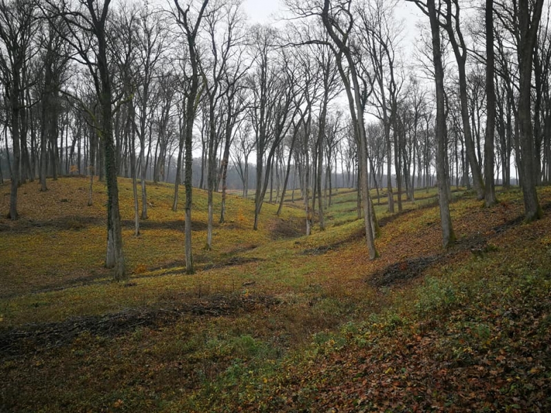
Model Event and training – Kobiljak – Sesvetski Kraljevec
Beautiful clean continental forest, hilly, fast running – very similar to terrains which will be used for Middle Distance, Long Distance, and Relay
ISOM 1:10000 & 1:7500, new map, reflecting mapping style for Middle Distance, Long Distance, and Relay
Map done by: Ivana Gobec, 2019-2020
Distance from CC: 20 km (35 minutes by car)
25. 08. 2021. – Sesvetski Kraljevec, Model Event + Zagreb City Center, Longer Sprint
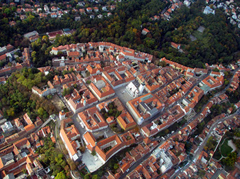
1st stage of Zagreb Open Event (start in the afternoon)
ISSprOM map used many times – will be newly updated for prolonged Sprint.
Map done by: Ivana Gobec & Damir Gobec
Urban area, old city and parks. Maximum running speed.
Distance from CC: 4 km (public transport/tram 30min)
26. 08. 2021. – Sesvetski Kraljevec – Middle Distance
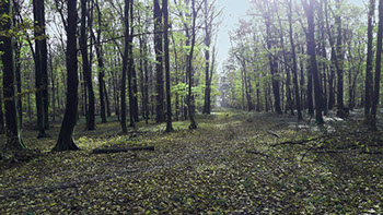
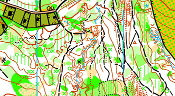
2nd stage of Zagreb Open Event / SEE(M)OC middle distance Championships
Never used for orienteering before.
Will not be used until SEE(M)OC
Map done by: Georgi Hadzhimitev & Valentin Garkov 2018 (revised by Ivana Gobec 2019/2020)
Continetal forest terrain. Clean continental forest, slightly hilly, rich in details, very fast running.
Distance from CC: 25 km (car 30min)
27. 08. 2021. – Karlovac City Center – Sprint
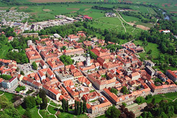
3rd stage of Zagreb Open Event / SEE(M)OC sprint distance Championships
ISSOM map used for WTOC2015 – will be updated for Sprint.
Map done by: Ivana Gobec & Damir Gobec
Beautiful urban area and parks, Arboretum, river banks. Maximum running speed.
Distance from CC: 50 km (highway 40 min).
28. & 29. 08. 2021. – Krašić – Long Distance and Relay (Middle for Zagreb Open)
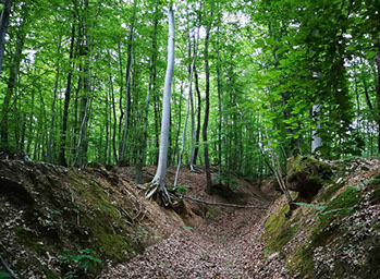

4th stage of Zagreb Open Event – long distance/ SEE(M)OC long distance Championships
5th stage of Zagreb Open Event – middle distance / SEE(M)OC relay Championships
Map done by: Georgi Hadzhimitev & Valentin Garkov 2018 (revised by Ivana Gobec 2019/2020)
Never used for orienteering before.
Continental forest terrain. Clean continental forest, moderately hilly, fast running
Distance from CC: 42 km (car 50min, car highway 40min)
